Brazil
Here is some data visualisation for the Legal Amazon, the subject of much of my work. Many of you may have limited knowledge about this part of the world, so I hope this helps put my research in context. Everything shown here is publicly available data. In my research I mostly use confidential microdata from the Banco Central do Brasil.
Forest cleared per year
Square kilometres of forest cleared in the Brazilian Legal Amazon (INPE PRODES; each year runs August to July).
Tanzania
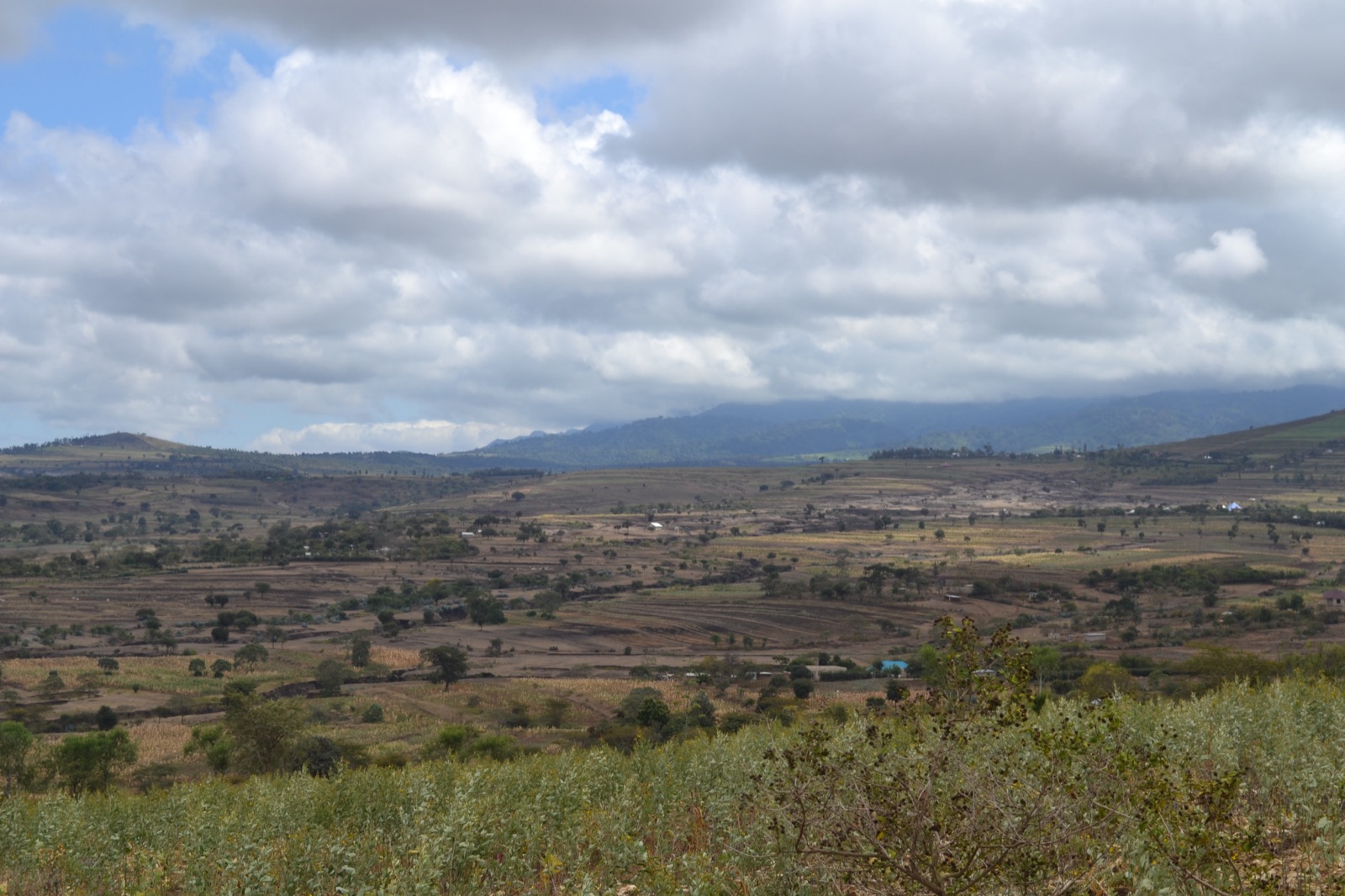
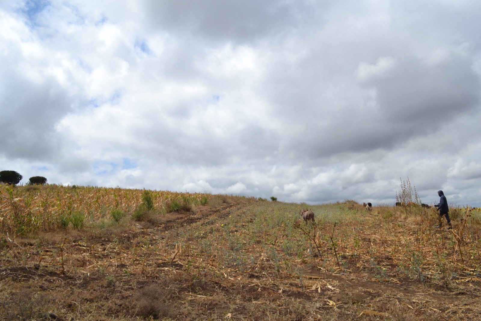
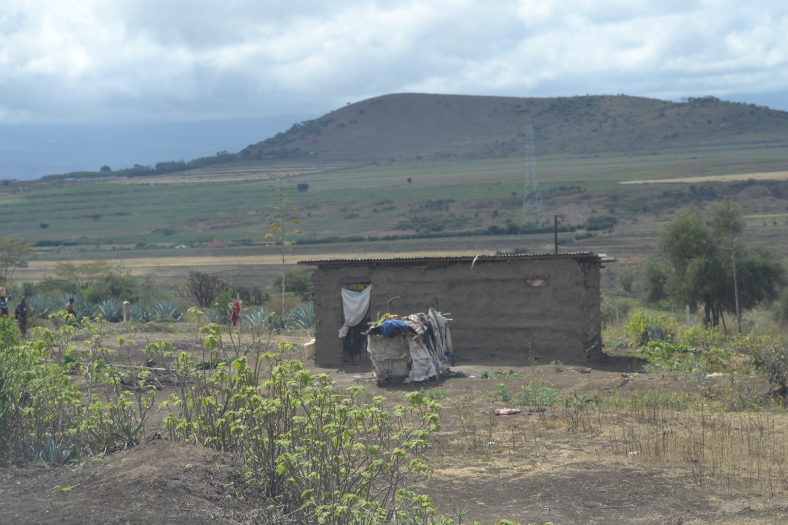
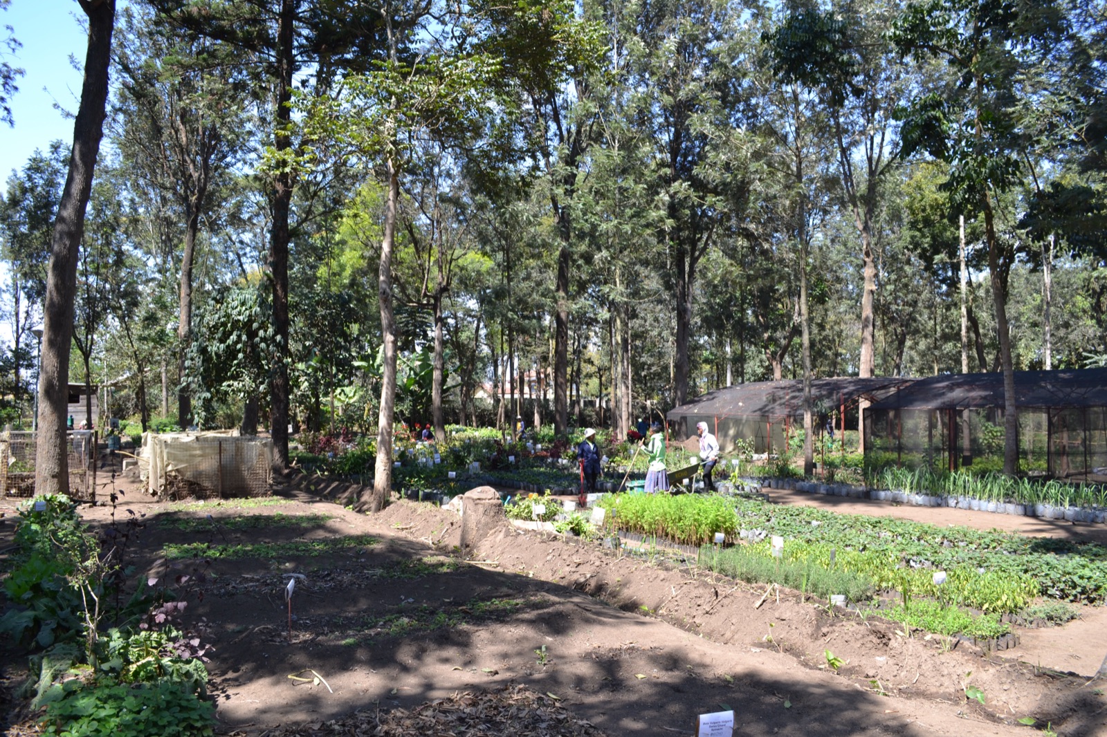
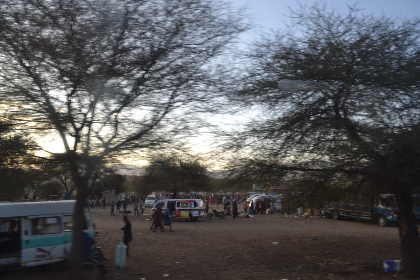
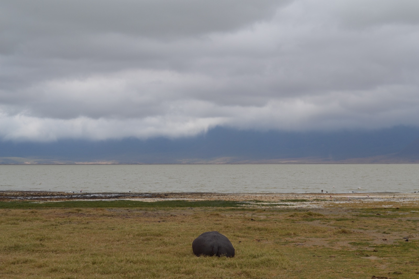
I was also fortunate enough to travel to Tanzania for my project Differential Land Efficiency and the Environmental Consequences of Agricultural Productivity Growth with Tiago Cavalcanti. This trip was funded by STEG. Here are some impressions.
Sources
Deforestation: INPE PRODES (TerraBrasilis), CC BY-SA 4.0.
Cattle and soy: IBGE, Pesquisa da Pecuária Municipal and Produção Agrícola Municipal. Municipality level.
Rural credit: Banco Central do Brasil, Anuário Estatístico do Crédito Rural and SICOR, ODbL. Municipality level.
Indigenous land: INPE TerraBrasilis, CC BY-SA 4.0.
Imagery, 2016–2026: Sentinel-2 cloudless by EOX IT Services GmbH (contains modified Copernicus Sentinel data 2016–2025), CC BY-NC-SA 4.0.
Imagery, 2000–2015: NASA EOSDIS GIBS (MODIS).